Precision Mapping. Seamless Solutions.
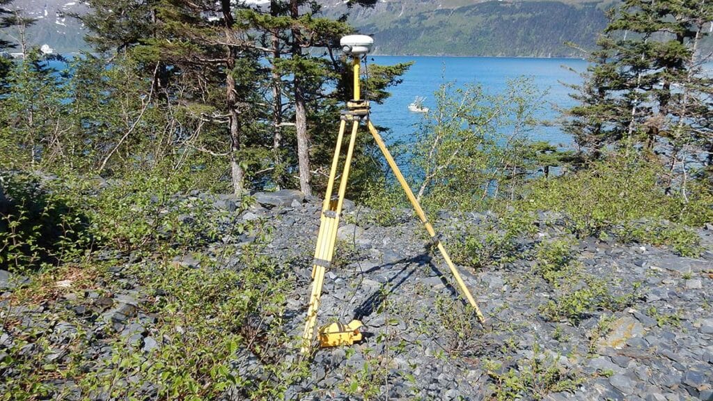
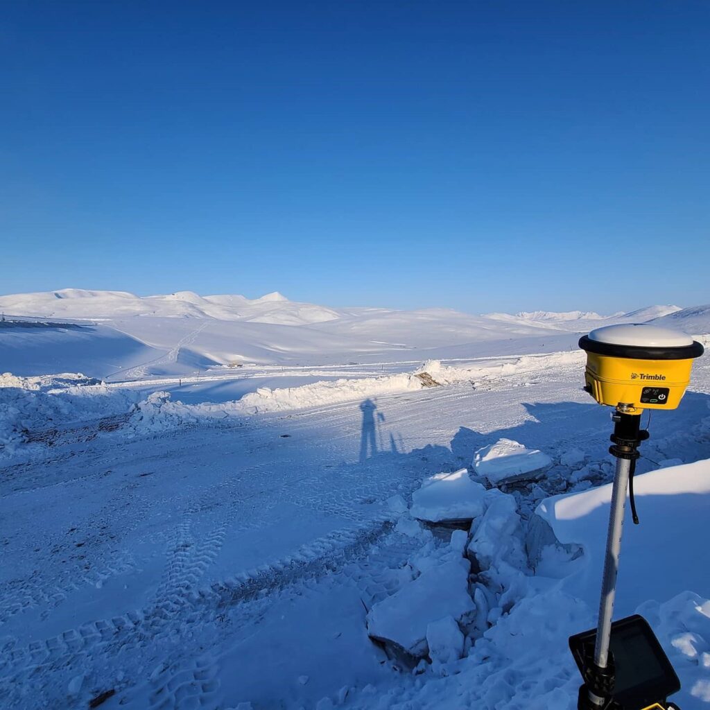
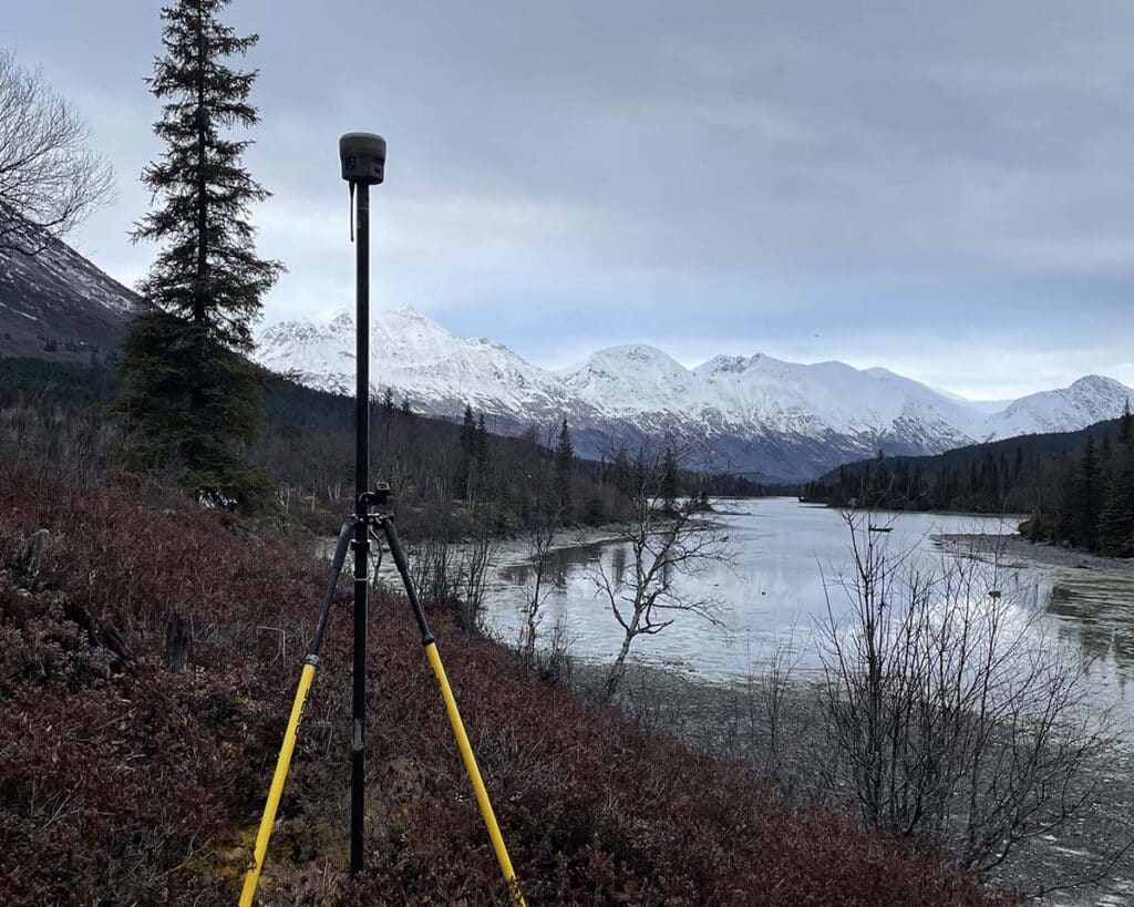
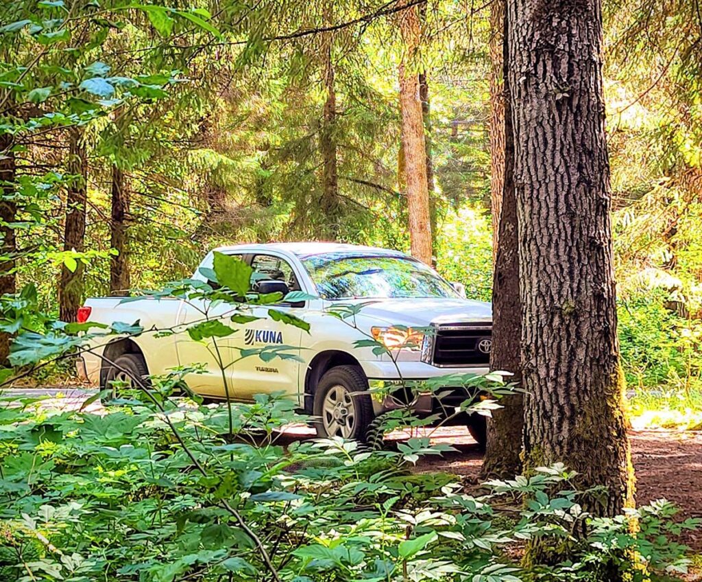
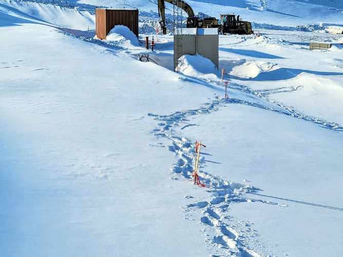
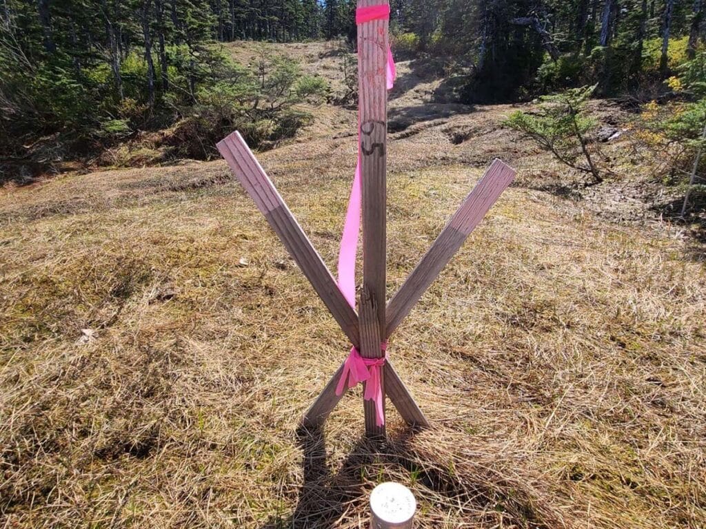
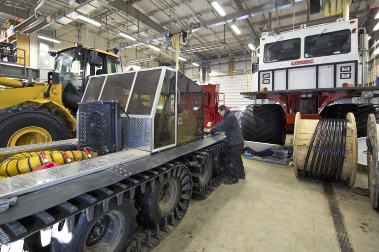
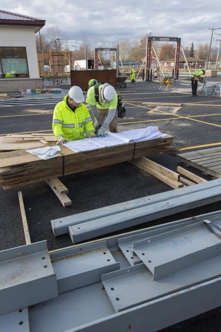
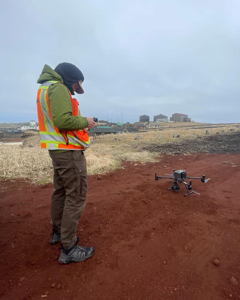
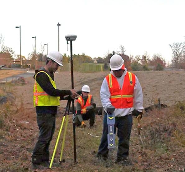
Kuna’s experienced team of survey professionals offers a comprehensive range of services, including offshore, land, precision control, boundary, mapping, and hydrographic surveying. With a proven record of working safely in both remote regions and active mining environments, our team leverages cutting-edge technology such as GPS, robotic total stations, 3D laser scanners (ground-based LIDAR), and unmanned aerial vehicles (UAVs/drones). These advanced tools enhance productivity and reduce costs, allowing us to deliver fast, accurate, and cost-effective survey and mapping solutions that add value to every project.