Alaska Cadastral (Boundary) Surveys
Client: Various
Location: Statewide, Alaska
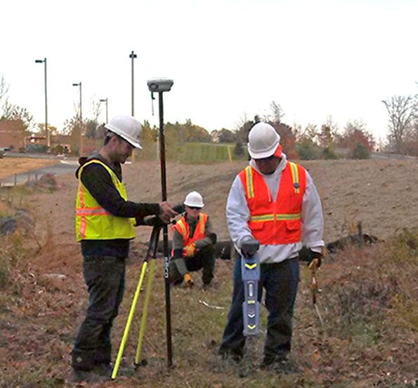
The Kuna survey and mapping team takes tremendous pride in the quality of service and work products we deliver. Our team consistently provides cost-effective, timely, and complete deliverables that exceed client expectations. In our 35-year history of delivering survey and mapping services in Alaska, we have an established reputation for providing highly accurate boundary (cadastral), hydrographic, and topographic surveys and maps using the latest survey technology. The skills of our professionals are complemented by a complete set of plats, USGS maps, and survey information for all of Alaska. The following is just a sample of our history of work.
- Alaska Native Claims Settlement Act (ANCSA) Final Entitlement Original Government Surveys – Under contract with BLM, Kuna performed ANCSA lands surveys in support of the federal NANA regional lands entitlement program. KUNA provided a multitude of services for these survey lands projects, including: crew mobilization, existing monument refurbishment or replacement, setting of new monuments and accessories, and platting.
- Anchorage Water & Wastewater Utility (AWWU) Professional Land Surveying Services – Under several multi-year term contracts, Kuna completed 113 projects for AWWU, including as-built, boundary, utility locate, sewer and water design, volume, and construction staking surveys as well as platting. Several projects required accelerated schedules, and we are proud that we met the required delivery dates and all deliverable requirements on every project. One of Kuna’s primary goals throughout the contracts was to build a relationship built on trust, integrity, and personable service.
- Alaska Railroad Corporation (ARRC) Professional Land Surveying Services – For nearly a decade, Kuna held an ARRC term contract that resulted in successful completion of 54 projects. These projects included design surveys for track re-alignments, bridge replacements, at grade crossings, sidings and miscellaneous improvements; construction surveys; 4 boundary / legal description survey; volume surveys; photogrametric control surveys; a hydrographic survey; a land status research and report for the Ship Creek Intermodal project; and a platting project. ARRC safety procedures were strictly followed at all times during the field work, and there was not one safety incident involving our surveyors.
- Municipality of Anchorage (MOA) Project Management and Engineering (PM&E) Professional Land Surveying Services – Kuna served as MOA PM&E’s Land Surveying Consultant under multiple agreements. Kuna completed 75 projects including design, ALTA/ACSM Land Title, volume, GPS control, aerial photo control, boundary, right-of-way, and as-built surveys as well as platting. Accurate, complete field surveys were performed according to contract requirements and standards.