Survey & Mapping
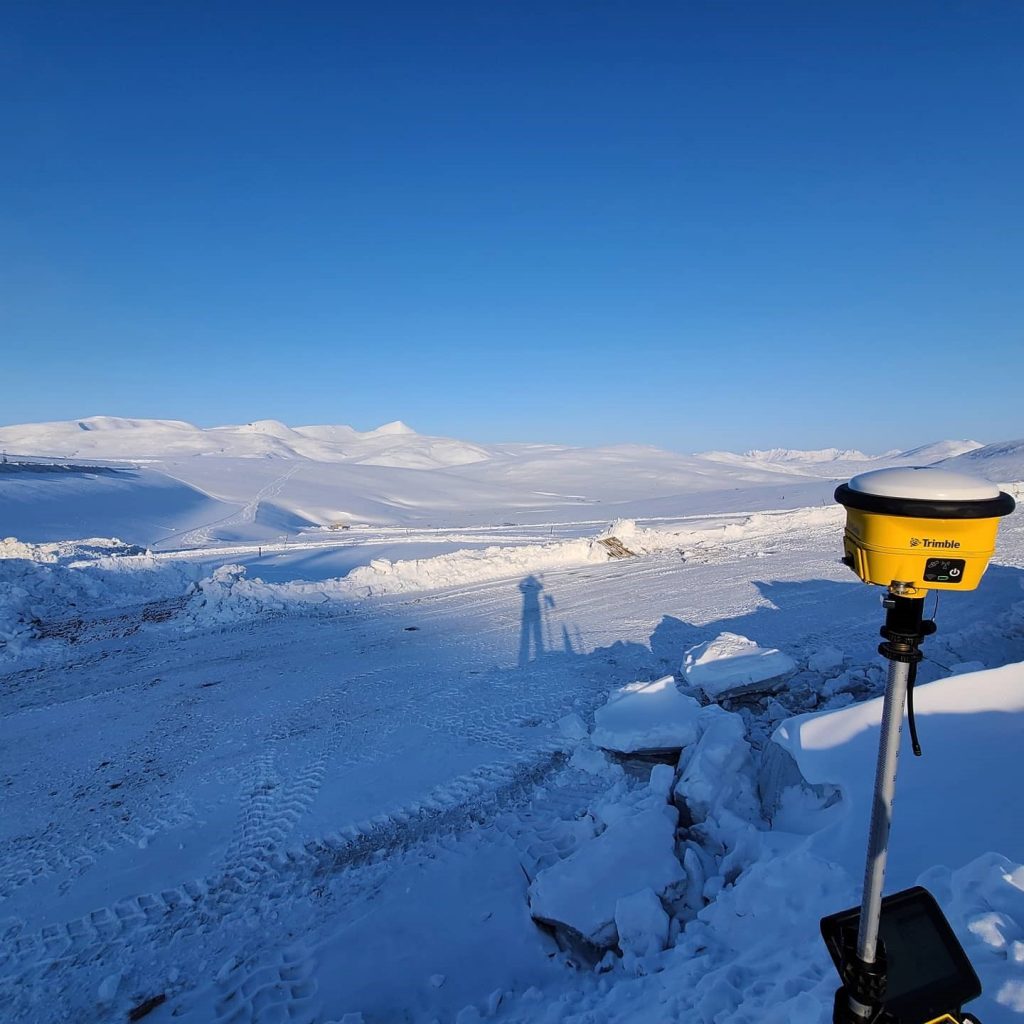
Kuna offers the full spectrum of offshore, land, precision control, boundary, mapping, and hydrographic surveying services – independently and as part of a multidisciplinary team. Kuna’s skilled surveyors use the latest equipment including GPS, robotic total stations, 3D laser scanners (ground-based LIDAR), and unmanned aerial vehicles (UAVs/drones). These technologies reduce project costs through vastly increased productivity and capabilities, allowing Kuna to deliver our client fast, accurate, and cost-effective survey and mapping services.
Capabilities
- QA/QC Services
- ALTA
- Boundary
- Industrial Quantity Surveys
- Construction & As-Built
- Precision Control
- Mapping
- Hydrographic
- Geodetic Control Networks
- Aerial Mapping Control
- Transportation Corridor Mapping & Infrastructure
- Utility Staking
- UAV/Drone Scanning & Data Collection
Projects:
- Red Dog Mine Tailings and Water, and Capital Projects Survey Support
- Alaska DOT&PF Term Agreement for Survey & Mapping, Central Region
- Alyeska Pipeline Services Trans-Alaska Pipeline Survey Term Contract, North Slope to Valdez
- Cadastral Surveys, Statewide
- North Slope Borough Point Lay UAV Survey
- U.S. Fish & Wildlife Services Culvert Fish Passage Surveys, MatSu Borough & Anchorage (Eight Sites)
- USACE Alaska District Bethel Hydrographic Surveys for Channel Monitoring & Bank, Bethel
Contact:
For more information about Kuna’s survey services, please contact:
