Point Lay UAV Survey
Client: North Slope Borough
Location: Point Lay, Alaska
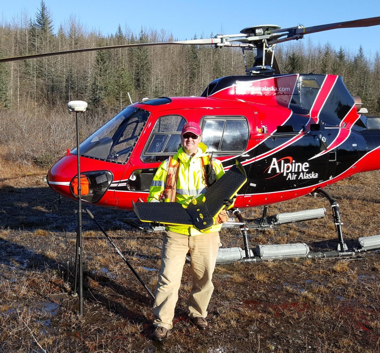
Under contact with the North Slope Borough (NSB), Kuna’s survey team performed an aerial unmanned aerial vehicle (UAV) topographic survey to support a Point Lay drainage study during the spring of 2017. The purpose of the survey was to collect imagery across the community and use structure from motion (SfM) to generate point cloud data. Our survey team collected ground control data to translate the SfM point data into Alaska State Plane coordinates. The point cloud was manually edited and used to generate one- foot contour surface for use in the drainage design. The use of UAV technology saved the survey team, and ultimately the NSB, upwards of three to five days of mapping with a traditional ground-based GPS receiver.